Bachelor Work
Katabasis
Mapping and visualizing underwater caves.
A measuring hardware, Katabasis, for underwater caves, plus its software, Anabasis: together they help cave divers map these caves precisely and turn the readings into clean digital data. The aim was to take a slow process that used to be done by hand and make it faster, calmer and far less error-prone.

Responsibilities
Research
- Interviews
- Affinity Mapping
- Process Analysis
Concept
- System Design
- UX
Design
- Visual Implementation
Turn a hand-written survey into one shared digital record, so divers can focus on the dive while the data stays accurate and safe.
The Problem
Mapping Underwater Caves
Hidden, hard to reach, and mostly unmapped. The only way to document a cave is to dive it, usually by volunteers.
Built for the volunteers in the field, not a lab.
Documentation under Extreme Conditions
Depth, distance and direction, all noted by hand. Cold, darkness and limited air cap how much a diver can capture.
One-handed, glove-friendly, readable in the dark.
Error-Prone Current Process
Notes are hard to read, many values are guessed, and it's all typed up only after the dive.
Clean digital data in the moment, one shared record.
Research & UX
User-Centered Developments
Interviews with cave divers, cadastres and speleologists mapped the whole process, from planning to archiving. Those critical moments shaped Katabasis and its features.
Building & Testing
Ergonomics & feedback
The design of the device focused on simple, one-handed operation. The device is shaped so it can be securely held and operated even with thick gloves. Switches and pressure points give clear haptical feedback.
The user interface has a clear information hierarchy. High-contrast light colours ensure that all information remains readable underwater, even in poor visibility.
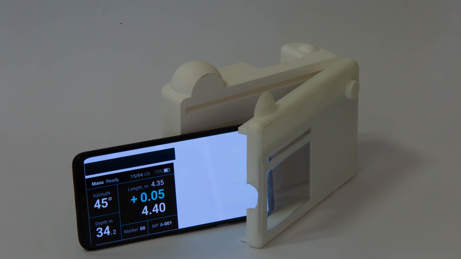
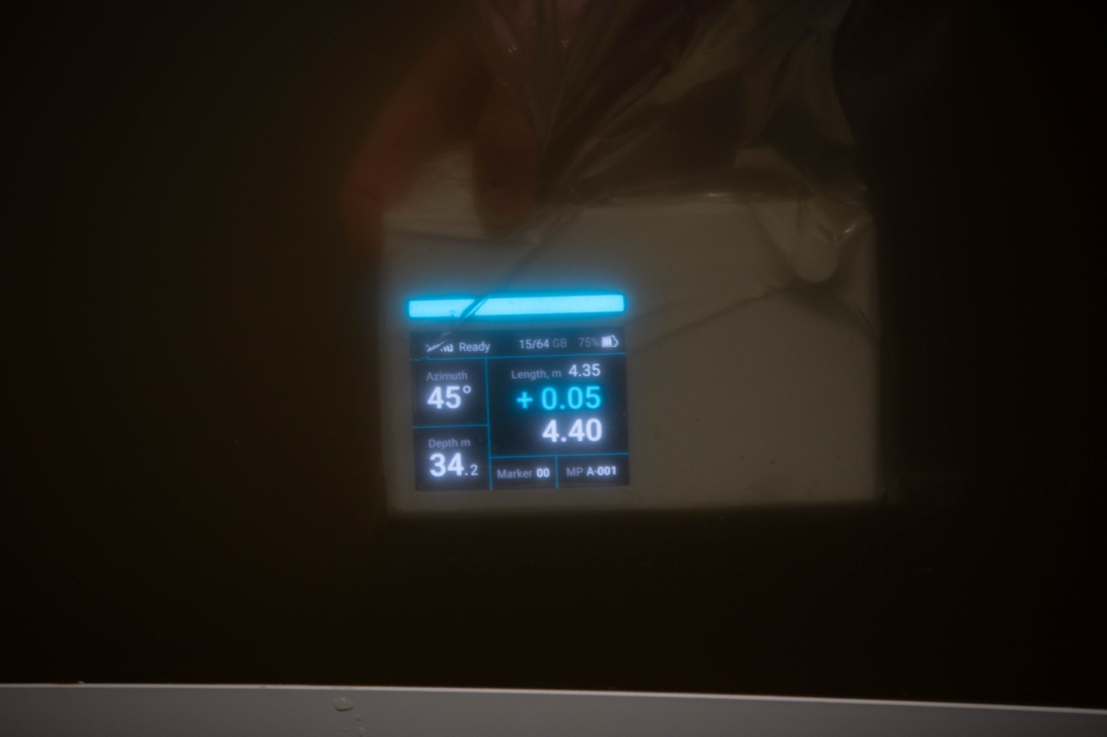
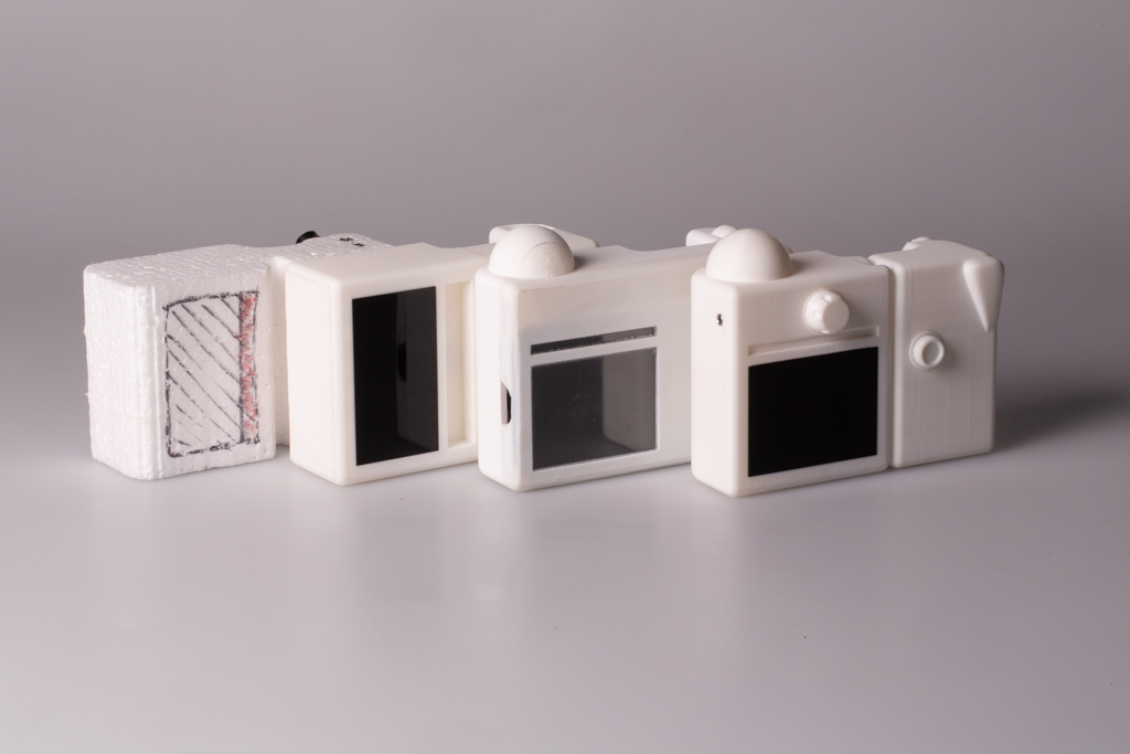

Hardware: Katabasis
Katabasis is a hardware device for exploring underwater caves, built for extreme conditions and restricted movement. In every cave there's an Ariadne thread (the guideline divers lay to find their way back out), and Katabasis takes advantage of it, simply driving along this line to record reliable measurements and capture the structure of the passages.
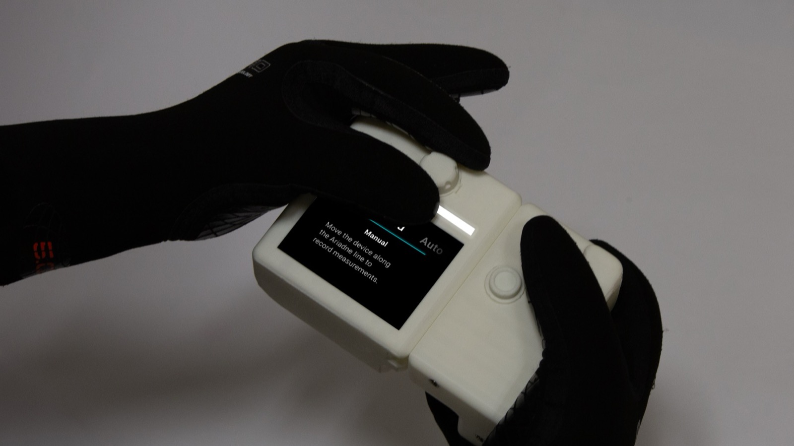
Choose the mode
The mode is selected before the dive. Manual mode enables direct control, while Automatic mode records measurements autonomously. The device is attached to the Ariadne's thread.
From Measurement Data to Visualization

Software: Anabasis
Anabasis is a software that processes the collected data from Katabasis and visualizes these to underwater caves. The measurements are transformed into clear, navigable 3D representations for analysis, documentation and collaboration.
From data to visualization
Drop in the files from Katabasis to Anabasis and get an overview of the cave and its meassurmentpoints + Markers.
Connect meassurmentpoints
Stitch cave paths into one continuous cave, and define markers with labels and informations.
Share without exposing
Create roles, control permissions and assign the roles to people so safety-critical locations stay protected.
Anabasis is a working demo prototype.
Try it outOutcome
With Katabasis, divers collect cave data more safely, more easily and far more precisely. Anabasis then brings it to life, visualising each survey and tracing the cave's path from any perspective.